
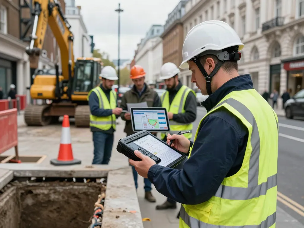
Understanding Utility Mapping and Its Importance in London
Utility mapping is becoming increasingly vital in the bustling urban landscape of London. With a city steeped in history and infrastructure that runs deep beneath its surface, understanding the location and condition of buried utilities is essential for effective urban planning and construction. As projects become more complex and the need for sustainable development grows, the demand for accurate utility mapping services has surged. When exploring options, Utility Mapping London provides comprehensive insights into this critical process.
What is Utility Mapping?
Utility mapping involves the identification and location of underground utilities, such as water, gas, electricity, and telecommunications. This mapping plays a crucial role in various sectors, including construction, civil engineering, and environmental management. The process typically involves advanced survey techniques to provide a detailed representation of utility layouts, helping to prevent accidental damage during excavation and ensuring project feasibility.
The Role of Ground-Penetrating Radar Technology
Ground-penetrating radar (GPR) is one of the most effective technologies used in utility mapping. This method employs radar pulses to image the subsurface, allowing surveyors to identify the presence of buried utilities without invasive digging. GPR provides real-time data, which is crucial for making informed decisions in dynamic urban projects. It’s particularly effective in densely populated areas like London, where traditional excavation methods can result in costly delays and safety risks.
Benefits of Accurate Utility Mapping for Projects
- Risk Mitigation: By accurately identifying the location of utilities, projects can avoid costly damages and legal disputes.
- Cost Efficiency: Reducing the risk of unexpected utility strikes means projects stay on budget and on schedule.
- Enhanced Planning: Accurate mapping informs decision-making and design, ensuring that projects are executed smoothly.
- Safety Improvements: Preventing utility strikes enhances the safety of workers and the public.
Key Techniques in Utility Mapping London
Ground-Penetrating Radar (GPR) Explained
Ground-penetrating radar (GPR) has transformed the utility mapping landscape. This non-invasive technology works by transmitting high-frequency radio waves into the ground. As these waves encounter different materials, they reflect back to the surface where they are captured by a receiver. The resulting data provides a detailed subsurface image that highlights the location and depth of utilities.
Electromagnetic Utility Detection Methods
In addition to GPR, electromagnetic detection methods are widely used for utility mapping. These methods involve sending electromagnetic signals along conductive materials such as metal pipes or wires. The reflected signals can reveal the presence and depth of utilities, making it a complementary technique to GPR. When combined, these methods offer a comprehensive view of the subsurface environment.
Combining Techniques for Enhanced Accuracy
Employing a combination of GPR and electromagnetic detection techniques can significantly enhance mapping accuracy. Utilizing both methods allows surveyors to cross-verify data, resulting in a more reliable utility map. This hybrid approach is particularly beneficial in London, where the sheer volume of existing utilities makes accuracy imperative.
Challenges and Solutions in Utility Mapping
Common Obstacles in Urban Environments
Urban environments present unique challenges for utility mapping. Congested areas often hide numerous overlapping utilities, making it difficult to discern between them using traditional methods. Moreover, the presence of varying soil types and debris can complicate the readings obtained from GPR and electromagnetic methods.
Regulatory Considerations for Utility Mapping
In London, utility mapping must adhere to strict regulations to ensure public safety and compliance with local laws. Surveyors must be aware of the various legislation governing underground utilities, including the requirement for PAS 128 compliance, which sets standards for utility surveys. Understanding these regulatory frameworks is crucial for delivering reliable and lawful mapping services.
Best Practices for Effective Utility Surveys
- Pre-Survey Planning: Conduct thorough planning, including reviewing existing utility records and consulting with stakeholders.
- Utilizing Multiple Methods: Employ both GPR and electromagnetic techniques to improve accuracy.
- Training and Certification: Ensure that surveyors are adequately trained and certified in utility mapping methodologies.
Real-World Applications of Utility Mapping London
Case Studies: Successful Projects Using Utility Mapping
Several high-profile projects in London have benefited from precise utility mapping. For instance, the Crossrail project, one of the largest infrastructure undertakings in Europe, relied heavily on accurate utility surveys to avoid disrupting existing services. The incorporation of GPR technology allowed for real-time adjustments to engineering plans, ensuring the project progressed smoothly.
How Utility Mapping Affects Urban Development
Utility mapping plays a pivotal role in shaping urban development. As cities like London expand, the need for new infrastructure increases, necessitating accurate utility data to inform design and construction. By identifying potential conflicts before ground-breaking begins, developers can create safer and more efficient urban environments.
Future Trends in Utility Mapping Techniques
The future of utility mapping is set to evolve with advancements in technology. One notable trend is the increasing integration of artificial intelligence (AI) and machine learning in data analysis. These technologies promise to enhance the accuracy of utility mapping further and provide predictive analytics for utility management.
Frequently Asked Questions About Utility Mapping
What is the cost of utility mapping services in London?
The cost of utility mapping services in London varies based on several factors, including the size of the area being surveyed, the complexity of the project, and the specific methods employed. On average, businesses should budget between £1,000 to £5,000 for comprehensive surveys.
How long does a utility mapping survey typically take?
The duration of a utility mapping survey depends on the project's scale and complexity. Smaller sites may be surveyed within a few hours, while larger, more complex projects may take several days. Factors include the depth of utilities and the required accuracy level.
What types of utilities can be mapped?
Virtually all underground utilities can be mapped, including but not limited to gas, water, electricity, sewage systems, and telecommunications. The effectiveness of mapping these utilities depends on the techniques used and the accessibility of the site.
How can I ensure the accuracy of a utility mapping survey?
To ensure the accuracy of a utility mapping survey, engage qualified professionals who employ a combination of modern techniques. Additionally, reviewing existing utility records and conducting thorough pre-survey planning can greatly enhance the reliability of the results.
Are there certifications required for utility mapping professionals?
Yes, utility mapping professionals should have relevant certifications to ensure they meet industry standards. In the UK, common certifications include PAS 128 compliance for utility mapping surveys, which sets out guidelines to ensure accurate and reliable mapping practices.